Spatial Data - Displaying time series, spatial and space-time data with R
Table of Contents
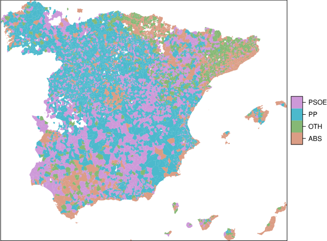
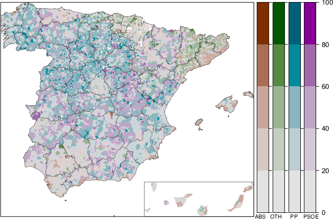
Choropleth maps
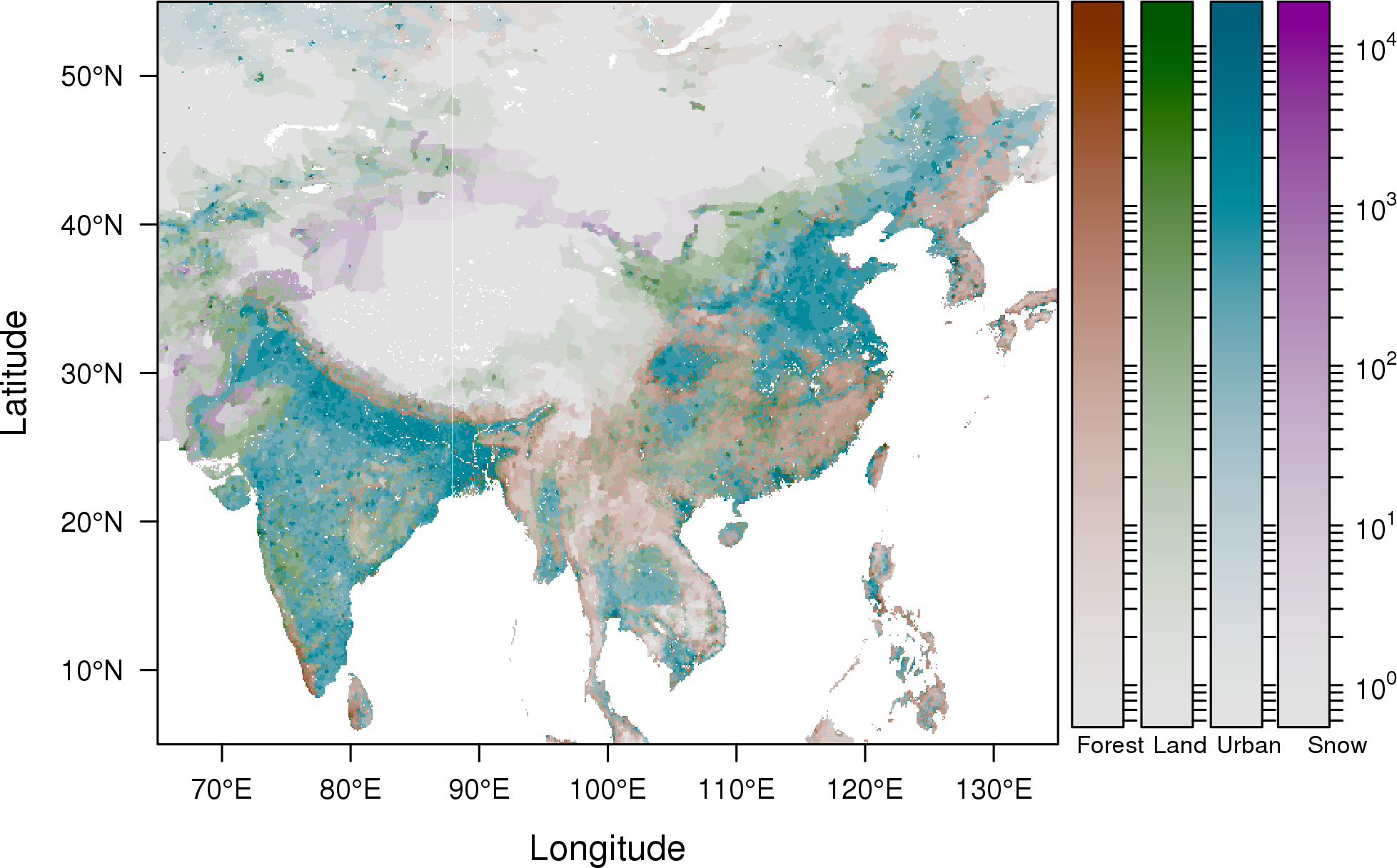
Raster maps


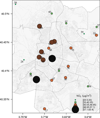
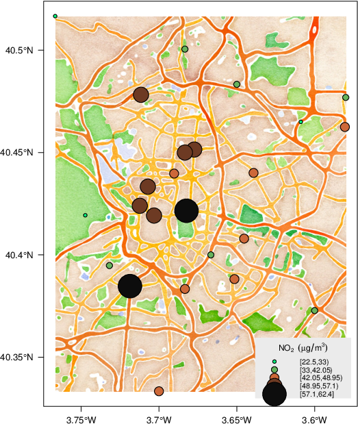
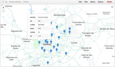
Proportional symbol mapping

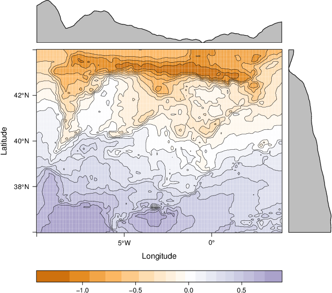
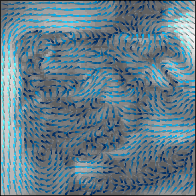
Vector fields

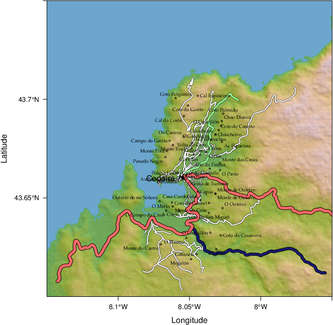
Reference maps
The code of this section is available here.
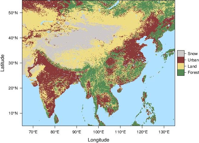
Physical maps

Data
The code to access the data is available here.